One of the best ways for businesses to improve their workflow and increase profits is adopting new technologies. For land surveyors, one avenue to explore is using drones. Doing so can increase safety, speed up projects, cut costs and much more. We explain these benefits in detail below.
Employee Safety
Though surveying land is generally a safe activity, it does come with its fair share of dangers. The three primary issues surveyors face are inclement weather, fatigue and rough terrain. Each of them can lead to injury, so you should not discount the risk that these employees take. The use of drones can eliminate those dangers by removing the footwork of surveying. Rather than having workers walking around in suboptimal conditions, the drone can take care of all of the manual work and keep everyone as safe as possible.
Speed of Completion
Another perk of letting a drone do the job is how quickly one can finish a massive area. If you go out and survey the land yourself, you might spend days or weeks on a large piece of property. These delays are even worse when a particular job requires the use of heavy machinery, which slows you down further. A drone, on the other hand, can fly over the area at incredible speeds and finish the job quickly.
Cost Savings
As you might assume, taking less time on a job leads to fewer costs for you, the surveyor. Instead of buying heavy machinery and paying people to walk the area, you can send a drone to do it all for you. Though these devices are quite expensive, they rarely need repairs. The result is you making an initial investment and then enjoying cost savings on every job you work. Business owners are always looking for ways to increase profits, and for land surveyors, using drones is an excellent option.
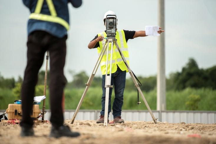
Using Just One Tool
Surveying land the conventional way requires many types of tools. You might need to use GPS, theodolites, or infrared reflectors, to name a few. Not only are these pieces of equipment sometimes expensive, but they are inconvenient to carry around and keep track of. The complication of the job will only increase as your toolkit grows, which makes using drones that much more tantalizing. When you utilize this device, you use one lightweight, automated tool for the entire job.
Data Resolution
Some land surveying jobs require you to fly overhead. In the past, you might have used a helicopter or plane. The issues with these methods are that you need to fly high above the ground to stay safe, and the aircraft themselves are unstable. These factors combine to make conventional aerial footage low-resolution. Using a drone helps you bypass this issue, as these devices are incredibly stable and can safely fly close to the ground.
Unreachable Locations
While you can survey most areas by foot, certain land masses are too dangerous to assess manually. If you tried, you would incur too many expenses and might even put yourself at risk. These situations are perfect for drones because they can fly over obstacles and get you footage of unreachable locations.
They’re Only Getting Better
One of the most tantalizing characteristics of drones is that they are still a relatively new product. The result is that they are only going to get better and more useful for land surveyors. At some point, drones might become a vital piece of your toolkit, so it is best to learn the basics now and reap the benefits of doing so later on.
There is a high chance that the future of land surveying will have drones involved. The reason is that this exciting new technology brings so many benefits to businesses in this industry. If you are in the land surveying industry, considering adding a drone to your toolkit is one of the smartest decision you can make right now.
Find a Home-Based Business to Start-Up >>> Hundreds of Business Listings.