If you’re in need of terrestrial surveying service, you may have heard of geodetic networks and processing in Canada – and you may be wondering what it is, how it works, and what it’s used for.
In this article, we’ll take you through all of the basics and give you the information that you need to understand geodetic networks and processing in Canada. Let’s get started!
Understanding Geodetic Networks
Geodetic networks (also sometimes called “Geodetic Control Networks) are networks of triangles, which are measured exactly and precisely, either by using terrestrial surveying techniques, or satellite-based geodesy.
In essence, it consists of a network of stable, “high-order” identifiable points, alongside published, observation-derived data that ties the points together.
Okay, that’s still a bit hard to understand, so let’s break it down further. Geodesy is used for any project that requires extremely precise knowledge of spatial relationships on the Earth – it’s used in biology, geography, geology, and even for mapping land masses for large development projects.
By layering a geodetic network of triangles over key points in the real world, it’s possible to create highly-accurate maps, and ensure that they correspond perfectly in both the digital and physical world.
This, in turn, allows for precise planning and measurements, which is important in a number of different scientific disciplines, and in engineering, construction, and navigation.
What Is Geodetic Network Processing
Geodetic network processing refers to the processing software, techniques, and other systems used to process multiple readings, geodetic networks and processing in Manitoba on to a single complete network or map.
Geodetic network processing is typically not done just once – it’s a constant process, because as the land shifts, new measurements are often taken of existing areas, and the network must be updated accordingly.
Geodetic network processing also allows geodetic networks to be overlaid on real maps, and for the manipulation and modification of these maps – to plan a new subdivision, for example.
The field of geodetic network processing and the associated software are quite complex, so this task is typically carried out by trained specialists who are familiar with the data and metadata used by worldwide and regional geodetic networks.
What Are Geodetic Networks And Processing Used For In Canada?
Geodetic networks and processing in Canada are used for a variety of different tasks. Let’s discuss some of the most common uses of geodetic networks now.
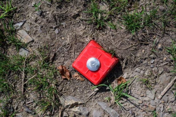
The most common use for a geodetic network is to map out an area, and ensure that accurate assessments and markings of geography are made, corresponding directly to physical monuments and other metrics.
A triangle-based geodetic network can be used to make extraordinarily precise measurement of land masses – ranging from smaller parcels of land and regions, to entire continents.
This is critical in designing and engineering. For example, if a shale oil company wanted to create a new drilling rig, they may order a geodetic network survey of the area, to ensure that their rig would fit in the area, and to understand the true size of the region, and map it more completely.
Geodetic networks are also often used before a large parcel of land is sold. The network allows for an extremely precise measurement of land borders – with accuracy variances of only about 1 cm per 10 km.
They’re also used to measure the shifting of the Earth’s crust. Global satellite geodesy networks can be used to measure when tectonic plates move, providing scientists and geologists with insights on volcanic activity, and much more.
Geodetic Networks And Processing In Canada – Essential For Large Construction Projects
Hopefully, this guide has been helpful in explaining the basics of geodetic networks and processing in Canada, and why it’s so important! If you are about to undertake a new large-scale construction or engineering project in Canada, it’s important to have a geodetic survey done – in order to ensure that the plans and maps being used are accurate.
Find a Home-Based Business to Start-Up >>> Hundreds of Business Listings.


