




































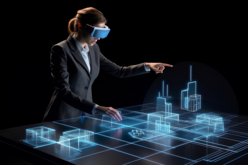
What if city planners could simulate the impact of a new highway before a single lane was paved? What if flood risk from a proposed development could be stress-tested against 100-year storm models — in minutes, not months? That is exactly what digital twin technology enables, and it is one of the most consequential developments in urban planning today.
Digital twin urban planning is no longer experimental. Cities from Singapore to Helsinki to Boston are deploying real-time virtual replicas of their infrastructure to make faster, smarter, and more cost-effective decisions about how to grow, manage, and protect their built environments.
Quick Answer
A digital twin for urban planning is a real-time virtual model of a city or district that mirrors
its physical environment — buildings, traffic, utilities, weather, and population — using IoT data,
AI, and 3D modeling. Cities use digital twins to simulate infrastructure decisions, predict
congestion, optimize energy use, and plan development before breaking ground.
Key Takeaways
• Digital twins are real-time virtual city models used for infrastructure planning and simulation
• Singapore, Helsinki, and multiple US cities are leading urban digital twin deployments
• Benefits include reduced planning costs, climate resilience modeling, and faster permitting
• The digital twin market creates commercial opportunities for tech companies and entrepreneurs
• Data quality and IoT infrastructure are prerequisites for a functioning urban digital twin
What Is a Digital Twin in Urban Planning?
A digital twin is a continuously updated virtual model of a physical entity — in urban planning, that entity is a city, district, or piece of critical infrastructure. Urban digital twins integrate data from IoT sensors, satellite imagery, traffic systems, utility networks, and building information modelling (BIM) into a unified 3D simulation environment.
Unlike a static map or CAD model, a digital twin is dynamic. It reflects real-time conditions and can run predictive simulations — showing planners how a proposed zoning change would affect traffic, how a new water main would impact pressure across the system, or how sea level rise would affect coastal neighbourhoods over decades.
How Cities Are Using Digital Twins Right Now
Singapore’s Virtual Singapore
Singapore’s Virtual Singapore platform is one of the world’s most advanced urban digital twin deployments. It models every building, road, tree, and utility in the city-state in three dimensions, with real-time data overlays. Planners use it to optimize solar panel placement, simulate pedestrian flow, and model emergency evacuation routes.
Helsinki’s City-as-a-Service Model
Helsinki has built a detailed 3D digital twin used for everything from noise pollution modeling to construction permit simulation. The city makes its digital twin data accessible to developers, researchers, and entrepreneurs — treating urban data as a public resource.
US Cities: From Pilots to Policy
Several US cities including Boston, Los Angeles, and Las Vegas have active digital twin pilots. Applications range from traffic optimization and utility management to climate resilience planning and autonomous vehicle routing.
Key Benefits of Digital Twins for Urban Planning
- Simulate infrastructure decisions before construction — reducing costly mistakes
- Real-time traffic and utility monitoring for faster incident response
- Climate resilience modeling — flood, heat island, and storm scenarios
- Energy optimization across municipal buildings and grids
- Transparent public engagement — show residents proposed changes in 3D
- Faster permitting through automated regulatory compliance checks
Digital Twin Technology Stack
| Layer | Technology | Purpose |
| Data Collection | IoT sensors, satellite imagery, GPS | Real-time physical environment data |
| Data Integration | APIs, middleware, cloud platforms | Unified data streams from all sources |
| 3D Modeling | BIM, GIS, point cloud scanning | Geometric representation of the city |
| Analytics Engine | AI/ML, simulation software | Predictions, optimization, scenario testing |
| Visualization | Web-based 3D viewers, VR/AR | Accessible interface for planners & public |
Business Opportunities in the Digital Twin Market
The urban digital twin market represents significant commercial opportunity. Startups and enterprise technology companies are building platforms, sensors, analytics tools, and consulting services for the growing number of cities investing in this technology.
For home-based entrepreneurs and small businesses, adjacent opportunities include GIS consulting, smart-city data analysis, IoT sensor installation, 3D modelling services, and public-engagement platform development.
Expert Tips on Digital Twin Adoption
- Start with a specific, measurable use case — traffic optimisation or energy management — not a full-city model
- Data quality is the foundation — invest in IoT infrastructure before visualization tools
- Open data policies maximise value — cities that share digital twin data see more innovation
- Integrate with existing GIS and BIM systems to reduce data migration costs
- Engage residents through 3D visualizations early — public trust accelerates project approval.
FAQ: Digital Twin Urban Planning
What is a digital twin city?
A digital twin city is a virtual, real-time replica of an urban area that mirrors physical infrastructure, traffic, utilities, and environmental conditions using IoT data, AI, and 3D modeling.
How do cities use digital twins?
Cities use digital twins to simulate infrastructure projects, optimize traffic and energy systems, model climate risks, streamline permitting, and engage the public in planning decisions.
What technology powers urban digital twins?
Urban digital twins combine IoT sensors, satellite imagery, GIS, BIM, cloud computing, AI analytics, and 3D visualization tools into a unified real-time simulation platform.
How much does a digital twin cost for a city?
Costs vary widely based on scope. City-district pilots can start at several hundred thousand dollars, while full-city deployments like Singapore’s have cost tens of millions over years of development.
What is the business case for digital twin urban planning?
Digital twins reduce costly infrastructure mistakes, optimize energy spending, speed up permitting, and enable better climate resilience — delivering long-term cost savings that exceed deployment costs.
Find a Home-Based Business to Start-Up >>> Hundreds of Business Listings.